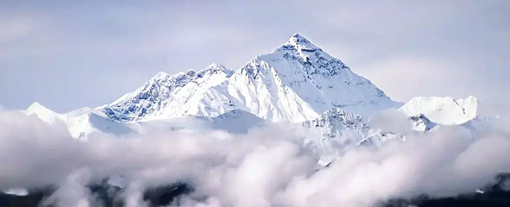
Mount Everest, the renowned highest peak on Earth, has long captivated the imagination of scientists and adventurers alike. While it is widely recognized that tectonic plate movements contribute to the mountain’s towering stature, new research introduces an intriguing concept: river drainage piracy. This phenomenon may explain why Mount Everest stands a remarkable 250 meters taller than its neighboring peaks, despite the geological uniformity that characterizes the Himalayas. The following exploration delves into the implications of this research on our understanding of Earth’s geophysical processes.
At 8,849 meters, Everest’s breathtaking altitude poses a question: how is it that one mountain can rise so distinctly above a chain of peaks where height discrepancies are typically minimal? In the world of geology, one would expect a more uniform height distribution among neighboring mountains, given their common tectonic origins. Yet, Everest stands out, akin to a solitary titan amid lesser giants. Traditionally, it was believed that the relentless force of tectonic activity was the sole contributor to its grandeur. However, mounting evidence suggests that additional factors, such as river systems, might play crucial roles in this monumental elevation.
The Concept of River Drainage Piracy
The intriguing concept of river drainage piracy plays a critical role in the explanation provided by researchers from China University of Geosciences and University College London. This term describes a scenario where a neighboring river diverts the flow of another, resulting in significant changes to sediment transport and erosion patterns. The Arun River, presently an essential tributary in the region, exemplifies this phenomenon. Evidence suggests that around 89,000 years ago, the Arun captured substantial amounts of water from its parent river, the Kosi. This dramatic change in the river’s capacity could have initiated a cascade of geological events, reshaping the physical landscape.
When the Arun began diverting water and gaining a powerful flow rate, its capacity to erode the surrounding rock escalated. This increased erosion led to the creation of a gorge, effectively stripping away substantial rock mass. Such dynamic changes not only sculpted the immediate environment but also significantly influenced the geological stability of Everest’s crust. Since the Earth’s crust behaves somewhat elastically, it responds to the removal of weight by rebounding, a process known as isostatic adjustment.
The implications of this river piracy extend beyond mere height comparison. As models produced by the research team illustrate, the eastern Himalayas, where Everest resides, experienced a notable crustal uplift as erosion altered the mass distribution of the region. The increased flow and sediment removal from the Arun resulted in a pronounced uplift, causing Mount Everest to gain additional elevation—an estimated 15 to 50 meters could be attributed to this historical diversion alone.
Moreover, it is noteworthy that Everest continues to rise, albeit at a slow rate of about 0.53 millimeters per year, as indicated by GPS data. This ongoing growth suggests that the geological effects initiated by river piracy are not merely artifacts of the past; they contribute to the current physical landscape, illustrating the profound interconnectedness between hydrology and geology.
This revelation invites a broader reevaluation of geological narratives that have been primarily guided by tectonic concepts. The notion that rivers could significantly alter mountain formations enriches our understanding of how landscapes evolve over millennia. It introduces an element of dynamism in geological studies, emphasizing the role of surface processes and their interaction with terrestrial formations.
The concept of river drainage piracy provides a fascinating perspective on the unique standing of Mount Everest in the Himalayan range and underscores the complexity of geological processes at play. As scientists continue to explore the intricate relationship between hydrological forces and tectonic movements, our comprehension of monumental peaks like Everest will continue to evolve—a testament to the multifaceted nature of our planet’s ever-changing landscape.


Leave a Reply